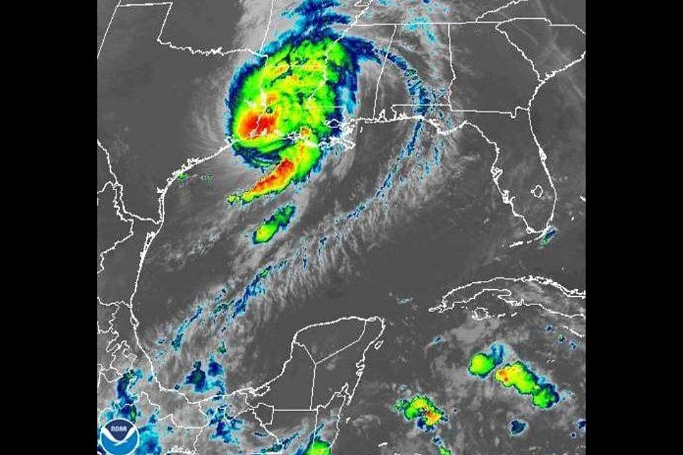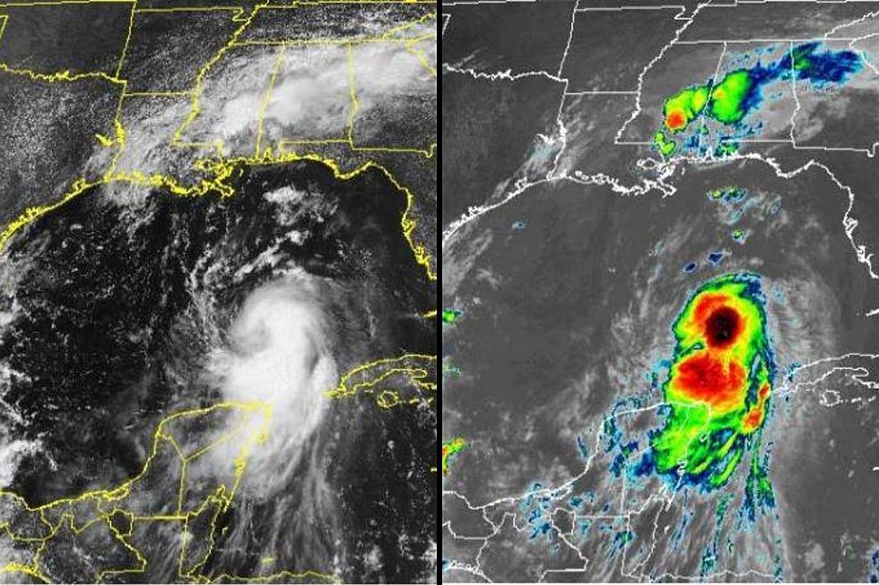
Laura Strengthens to a Category 4 Hurricane
Hurricane Laura has strengthened overnight into a category 4 storm moving Northwest at 16 mph with 145 mph sustained winds.
Hurricane Laura is now a MAJOR hurricane expected to become a (Category 4) later today before making landfall near the TX/LA border tonight. The main impacts expected for South Texas are minor coastal flooding and an increased rip current risks.

Many of the watches, warnings, and advisories are in place to the east of Victoria county, but we currently sit outside the cone and away from the direct impact of the storm.
Laura is expected to strengthen further this afternoon before making landfall and then weaken as it moves inland. Laura is expected to weaken to a Tropical Storm by Thursday evening. South Texas should expect a long-period swell from Laura that will likely impact most of the basin through Thursday. Atlantic high pressure will return in Laura's wake.
The forecast for Victoria county today includes showers and thunderstorms, high temperatures in the mid-90s, and a Coastal Flood Advisory from Port Oconner to Corpus Christi through Thursday evening.
Large swells and swell periods will lead to minor coastal flooding today and tonight. There is a high risk of Rip Currents along all Gulf facing beaches today. Once the hurricane makes landfall, the heat index values are expected to go even higher by the end of the week. Heat indices of 110-114 are possible Thursday through Tuesday.

TIPS: Here's how you can prepare for power outages
More From KLUB Tejano 106.9